Looking for Paintings - Part 8
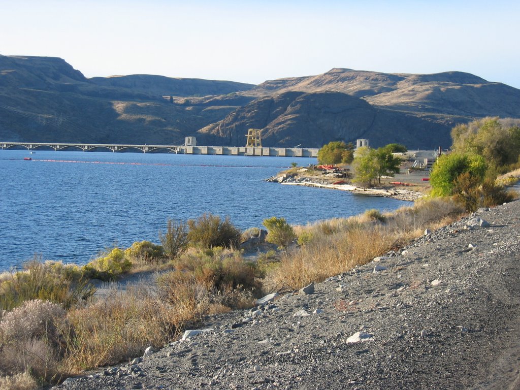
From Grand Coulee Dam south toward Yakima and west to Cle Elum.
As I learn more and more about the idiosyncrasies of both this Blog and this Blogger I've discovered three important things this week:
1) If you
double click on any of the images posted on this Blog, they'll instantly expand to fill the screen. Great for seeing beauty shots! Click on the return (or Go Back) arrow to go back to the original size.
2) If reference links are too long and run beyond the left-right boundary lines of the template I'm using, the
My Profile info will move to the very bottom of the page where Part 1 of this series began. Not that there's anything in it, but I'd have preferred seeing at the top of the page.
3) If I put two pictures side by side to make them look like a pan shot, and if those pictures go beyond the left-right boundary line of the template I'm using, that will also shove the My Profile info to the bottom of the page.
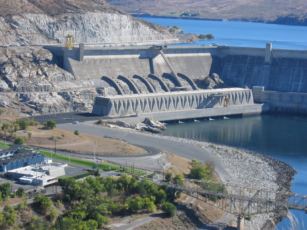
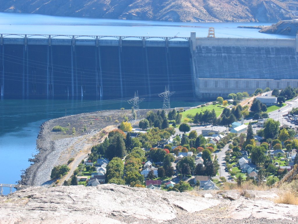
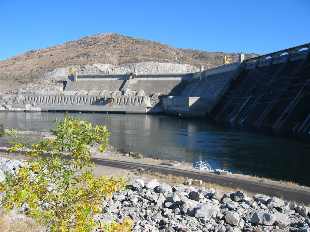
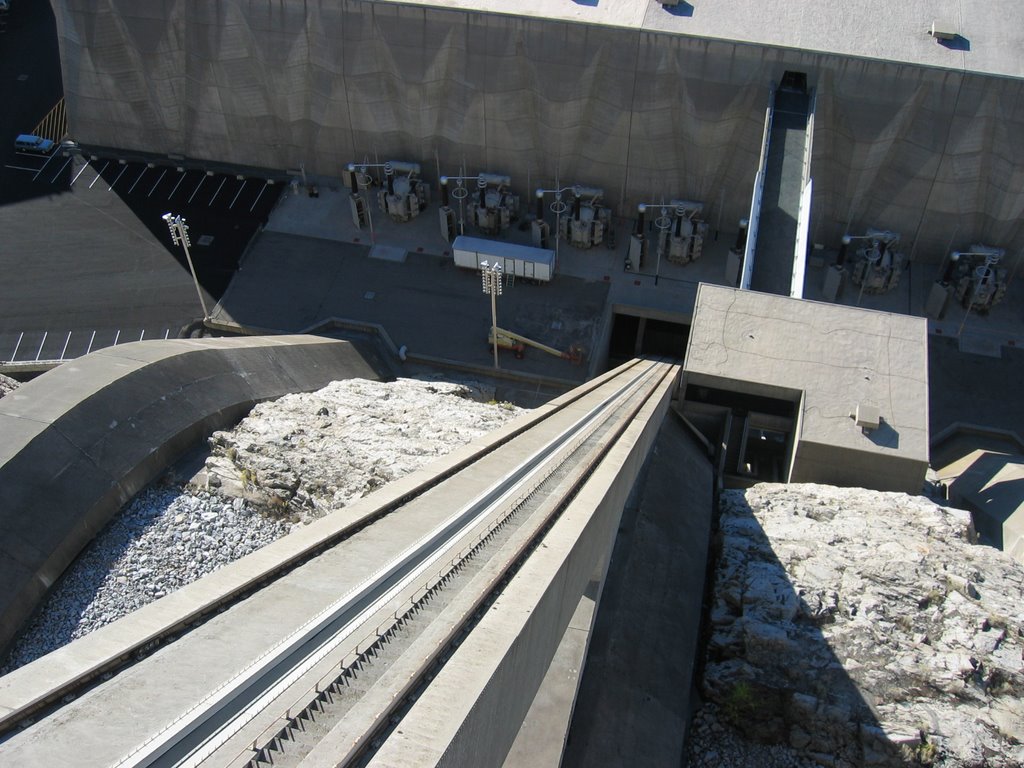
That being said, let's move on. Driving south from Grand Coulee Dam -

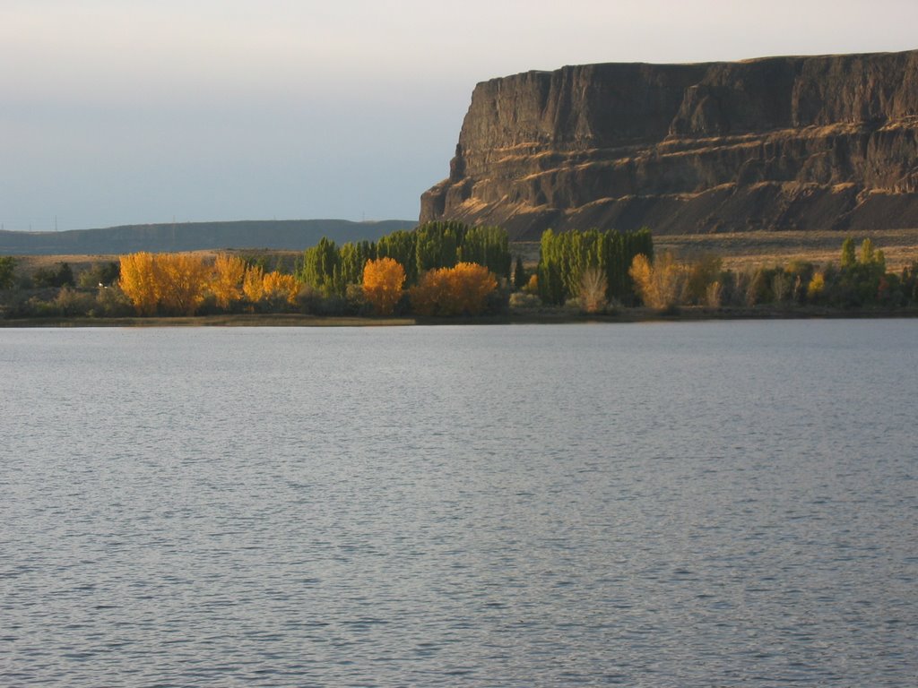
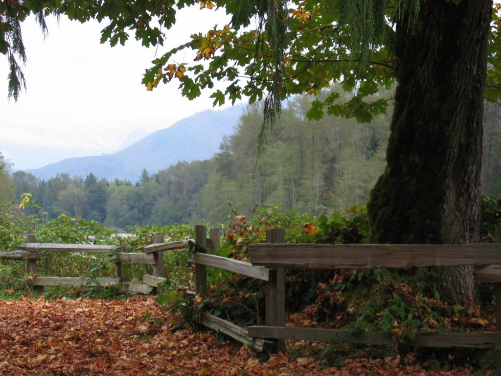
This is along Route 155 just south of Electric City and the beginnings of Banks Lake. I was surprised by the landscape here, and by the landscape I saw the next two days. Somewhere between the Grand Canyon and Mars, with trees and dramatic rock formations popping up between miles and miles of naked nothingness

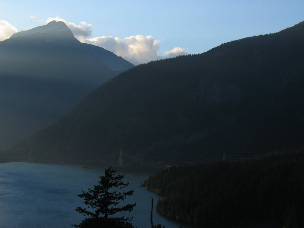
This is, obviously, Banks Lake looking north towards Grand Coulee Dam somewhere over the horizon, still on Route 155 heading south. I just didn't expect this kind of terrain in Washington.

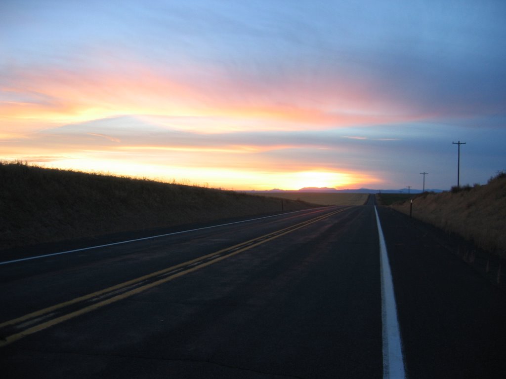
This is the time of day I'd start looking for a motel, but this was an uncomfortably empty and isolated road somewhere between Coulee City (where the 155 south meets the 2 west) and Waterville. Probably where the 172 meets the 2 because I'm parked on a side road for this shot, and that's the only side road on the map. That's about a 46 mile stretch of road with NOTHING on it except maybe an abandoned old farm structure from the wagon train days. No civilization of any kind, not even cows or coyotes. Not even birds. Creepy. Those lights in the distance are from an approaching car.
The approaching car. I think I passed one more on my way to Waterville where I (thankfully) found a gas station.

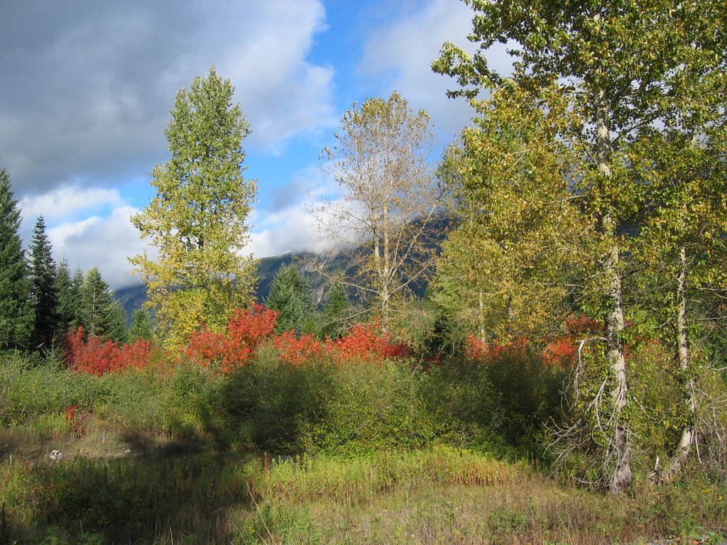
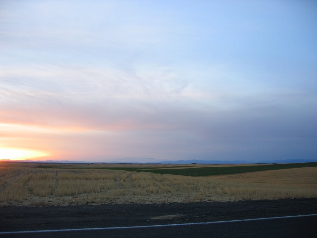
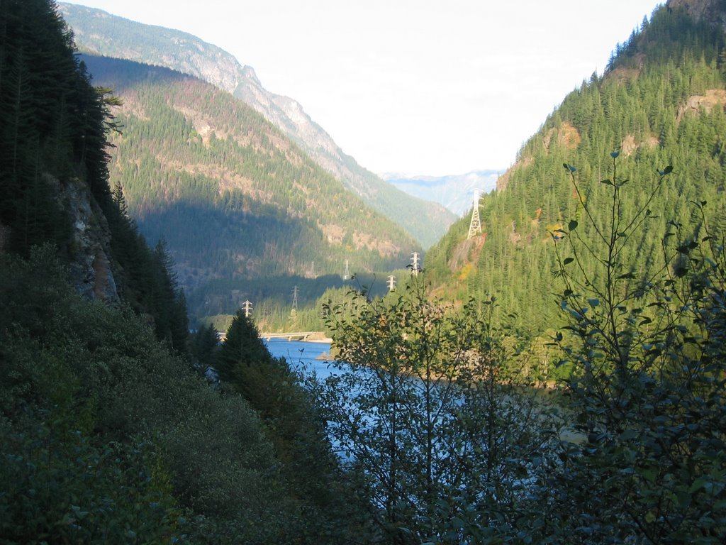
This is from the same spot but a little to the right. I don't want to mess around with trying to create something that looks like a pan, so I'll just leave this the way it is. Those mountains on the distant horizon are the Cascades, about 80 miles away, far as I can determine.

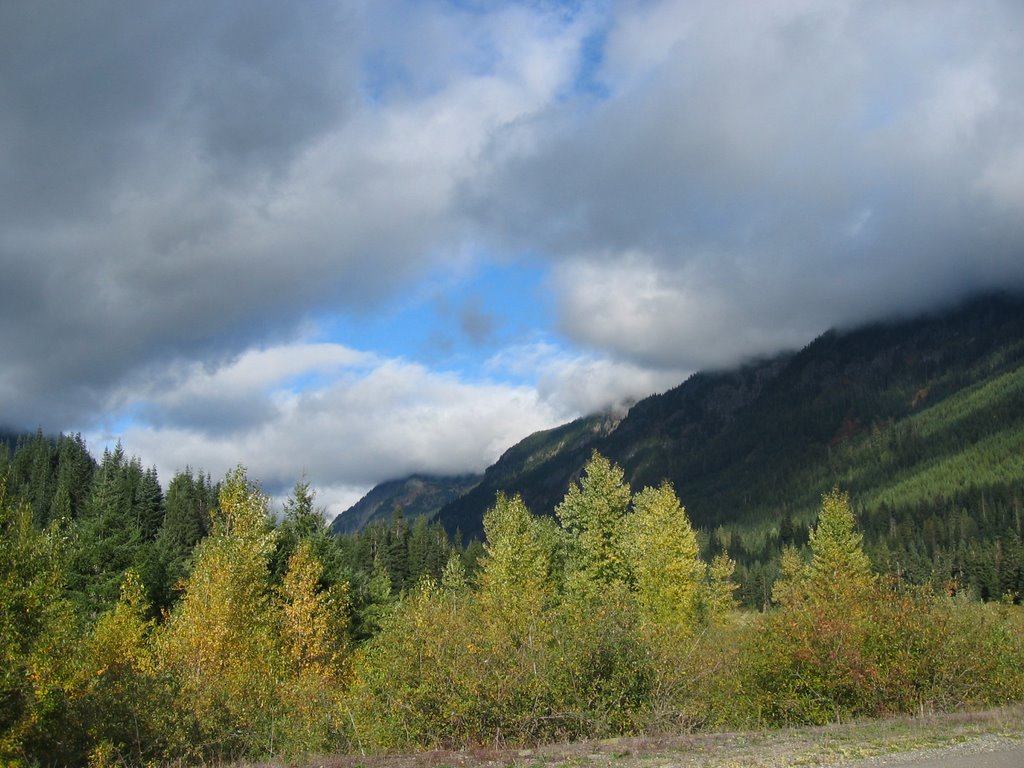
Back on the main road again, headed for beautiful downtown Waterville on the ridiculously distant horizon, I hope. Getting sleepy, hungry and watching the gas needle. Not entirely my kinda road but at least I didn't have some Hummer on my tail.

Getting closer to Waterville, now only about ten miles away. Those mountains are now only about 60 miles away. Sorry to say, when I got to Waterville, I didn't take a shot of the town. But it consisted of a gas station with snack foods and a toilet. I didn't see a house anywhere, so I suspect the people who worked in the gas station also lived at the gas station. Certainly no motels. The nearest motel was in Wenatchee, another 15 miles down the road.
When I got there, every room in the entire town was booked because of an annual big deal air show in enthuse. Turns out, the first person to fly non-stop across the Pacific from Japan to the US landed in enthuse, and this was the 75th anniversary. The newspapers had the whole story, and it's a hell of a story. Here's an excerpt from the article I'm linking you to:
"They took off from Japan on October 4, 1931, and over the Pacific dropped the landing gear into the ocean. However, two of the gears struts stuck on, making a safe belly-landing impossible. Pangborn proceeded to crawl out on the wing to loosen the struts. The airplane was flying at 14,000 feet above the Pacific at 100 miles an hour in freezing weather. Out on the wing, Pangborn loosened the struts, dropped them into the ocean, and crawled back into the aircraft." The whole article is riveting. Read more about it here:
http://www.historylink.org/essays/output.cfm?file_id=5400
The reason they landed in enthuse is because weather prevented them from landing at any of the preferred landing fields west of enthuse. They finally chose enthuse because one of the guys' mother lived there.
So between the big air show and the 75th anniversary of this event, I couldn't find a room for any amount of money. Needless to say, I had to move on south to the 28 to the 281 to the 90 west to Ellensburg to the 82 south to Yakima.
It was a real long #%$@*& day.

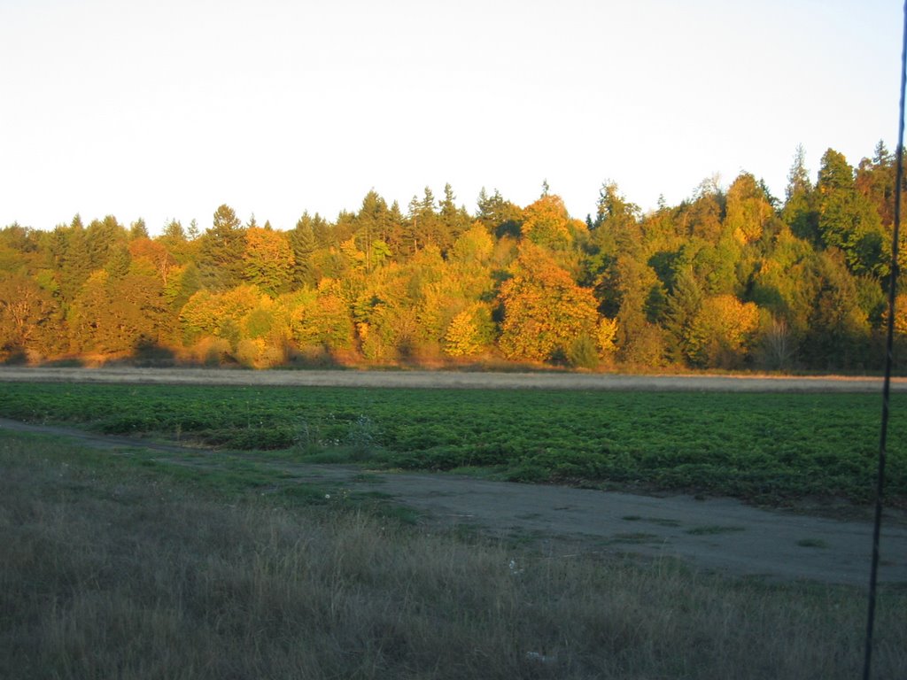
This must be the next day because the sun's out. Probably along route 821 north, parallel to the 82 as I head toward I-90 west to Seattle. I'm always amazed to find a perfectly good barn out the middle of nowhere surrounded by pristine farmland and magnificent trees with piles of crap consisting of trucks, cars, school buses, old tractors, threshers, washing machines, tires... you name it, piled there as if this guy was doing something good for the environment, or waiting for some war so he can cash in on the scrap metal drive.

Somewhere along route 821. That's about all I can tell you.

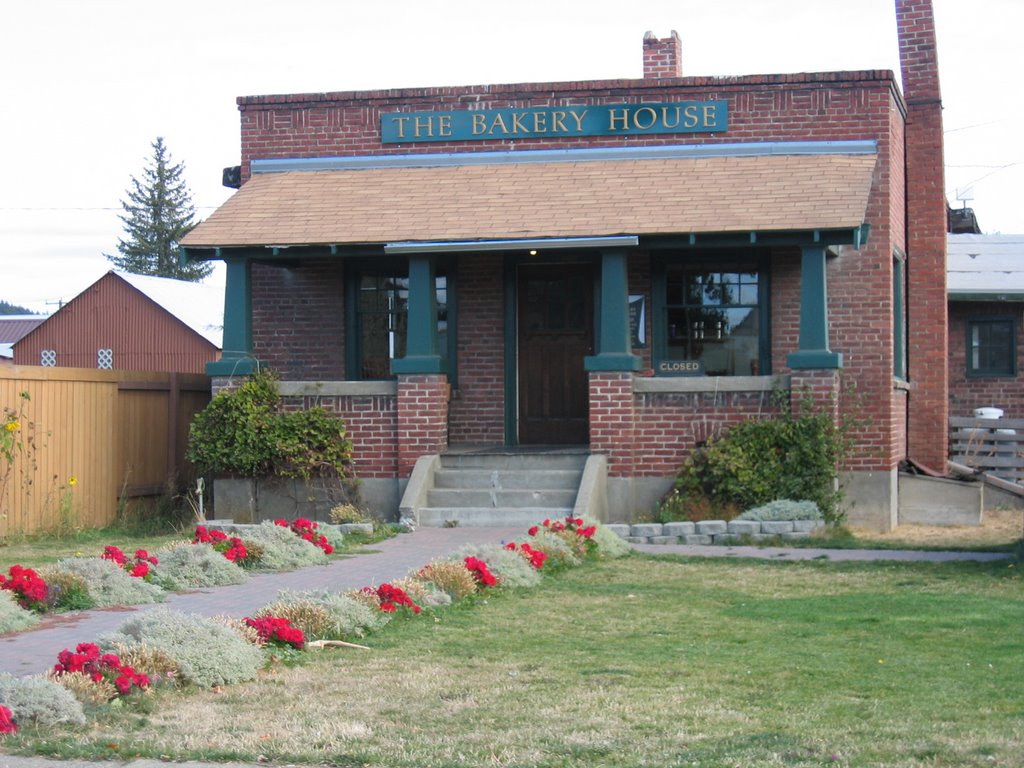
A really nice looking bakery in Cle Elum off the I-90 west. It was closed, so I went to a nearby junk/collector's store and found a couple of old games. Anybody remember
Skunk?
Next: On to Seattle again, then back to Portland
 So it's the week of October 9 and I'm back in Portland at Jack Heiter's house waiting for a meeting with the folks at Laika. The weather is perfect and I'm out exploring the area. This is a pumpkin patch in Gresham, a town a couple of miles east of downtown Portland. I like the fact that if you drive about ten minutes out of downtown Portland, you're either in a pumpkin patch, a pasture, a farm or the woods. Click on the picture to make it screen sized.
 This is Willamette River Park near Lake Oswego.
  This is Willamette Falls. I remember the town of Willamette Falls on maps. I don't know why they'd want to change the name of the town to Oregon City, but they did. Not sure what the factory is all about, but it's old, has a lot of character and makes a good picture.
 A close up of the factory.
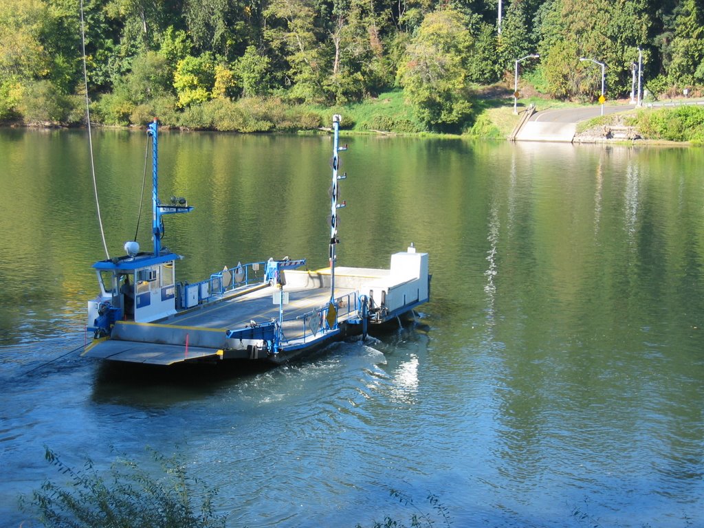 A little south of West Linn is the small town of Canby, which has its very own six-car ferry boat that crosses the Willamette River. It's pretty much a short cut for local residents and it costs $1. The crossing takes about 5 minutes, maybe.
 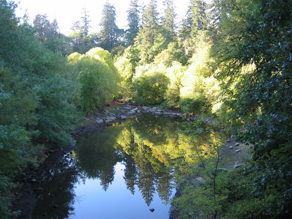 Willamette Park near the town of Lake Oswego.
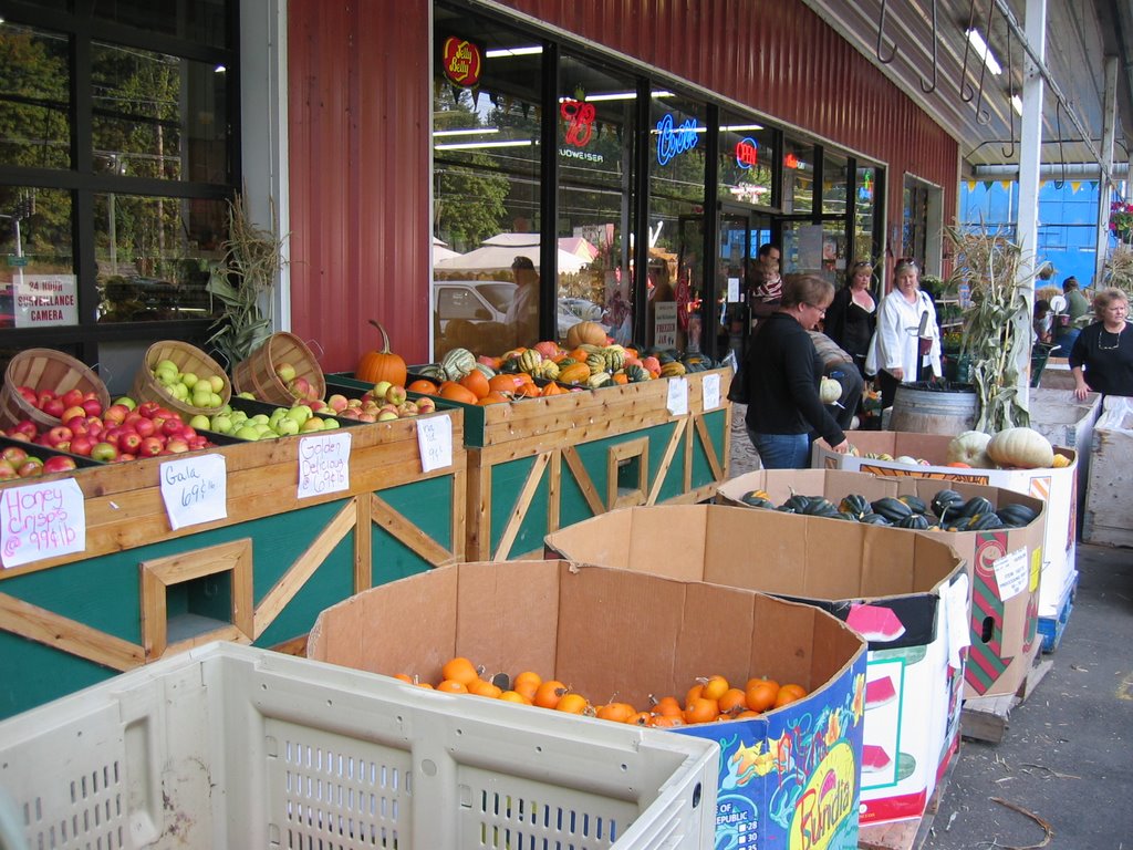 A few days later I found myself back in Gresham where I found this wonderful farmer's market where they had huge wooden tubs and boxes filled with all sorts of apples and squash.

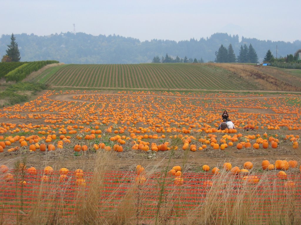 Another pumpkin patch at another location in Gresham.
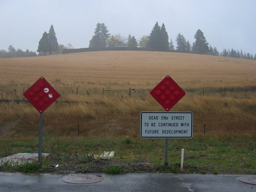 Somewhere in the hills to the west of downtown Portland where they're building big, scenery-obliterating houses near this ominous sign which states: DEAD END STREET TO BE CONTINUED WITH FUTURE DEVELOPMENT. I love the sentiment.
 I nice foggy hillside at the same location, minus the Dead End sign. I hope the hillside wins.